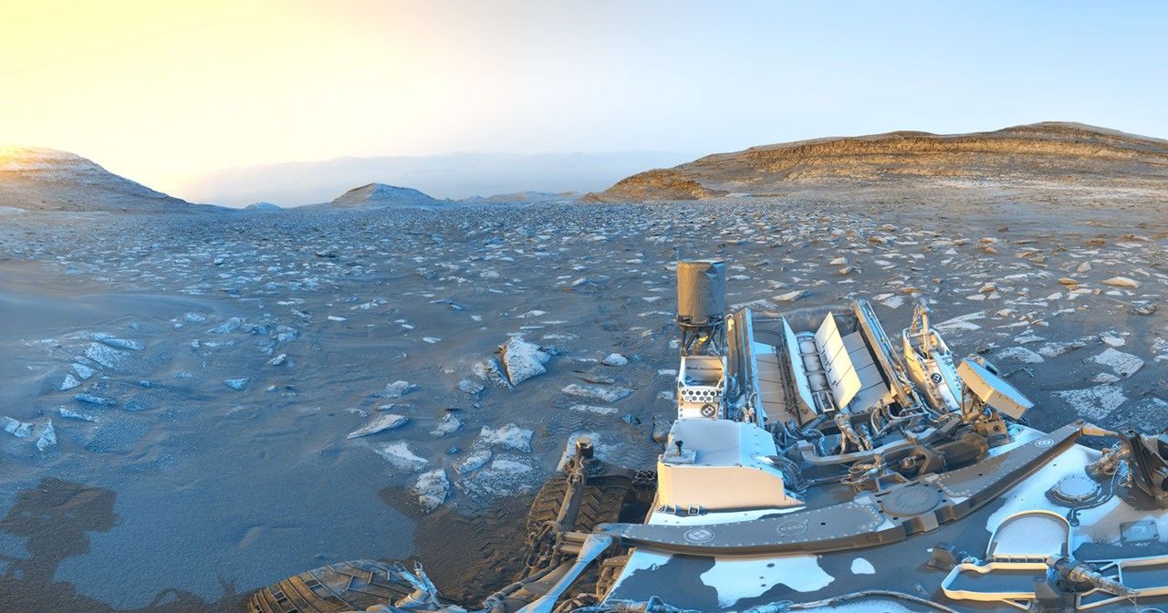
A Basin That Dwarfs Most Earthly Landmarks
Stretching roughly 460 kilometers across Mars's equatorial region, Schiaparelli Crater ranks among the largest confirmed impact structures on the planet. Named after nineteenth-century Italian astronomer Giovanni Schiaparelli, who produced some of the earliest detailed maps of Mars, the basin is a layered archive of the planet's geological history. Its floor and walls preserve sedimentary deposits, wind-sculpted landforms, and compacted dust layers that scientists read as records of past climate cycles spanning billions of years.
On August 19, 2026, the European Space Agency released a new animated flyover sequence reconstructed from orbital data gathered by Mars Express. The spacecraft's High Resolution Stereo Camera — one of the mission's primary science instruments — has built up a detailed elevation model of the crater over years of repeated passes, making this kind of immersive three-dimensional visualization possible. The result is a continuous, low-altitude perspective of the basin that no static image can replicate.
Two Decades of Continuous Mapping
Mars Express is one of ESA's longest-running planetary missions. Launched in June 2003 aboard a Soyuz rocket from the Baikonur Cosmodrome, the spacecraft has been in Martian orbit for over twenty years — an operational lifespan few missions of its era could match. That endurance translates directly into scientific value: the accumulated dataset now covers virtually the entire Martian surface under a wide range of lighting conditions and orbital geometries.
The virtual flyovers derived from this data serve purposes beyond public outreach. Researchers use them to flag geological targets, assess potential landing zones, and track changes in surface features over time. Schiaparelli itself carries a particular resonance in the mission history of Mars exploration: in October 2016, ESA's Schiaparelli EDM lander attempted to touch down within the basin as part of the ExoMars programme, only to be lost during final descent due to a sensor anomaly that caused the parachute to be released prematurely.
Visualization as a Scientific and Strategic Tool
ESA's decision to release these flyover sequences regularly reflects a broader shift in how space agencies communicate their work. By merging altimetry, color imaging, and digital terrain modeling, production teams create experiences that bring the Martian landscape to audiences who will never consult a raw science archive. The approach is both educational and strategic, keeping long-running missions visible in an increasingly crowded information environment.
Other agencies pursue similar methods. NASA routinely draws on Mars Reconnaissance Orbiter data to produce contextual animations, and China's CNSA has begun showcasing surface reconstructions derived from its Tianwen-1 orbiter in comparable fashion. The competition for attention in planetary exploration is not only technical — it is also a contest of storytelling.
As human Mars missions move from concept to concrete planning — with SpaceX publicly targeting crewed flights before the end of the decade — high-resolution orbital cartography like that produced by Mars Express becomes operationally significant. Selecting landing sites, evaluating slope hazards, modeling traverse routes across the surface: none of it happens without the kind of patient, methodical data collection that this spacecraft has been quietly performing since 2003.