Starship IFT-15: orbit confirmed, booster fate uncertain
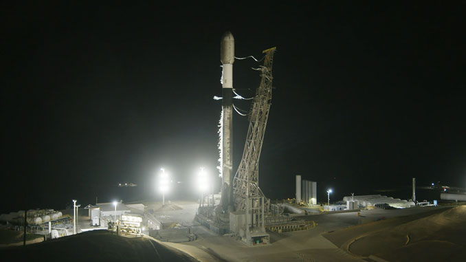
On the evening of November 13, 2026, SpaceX conducted the fifteenth Integrated Flight Test of its Starship system, lifting off from Starbase in southern Texas. The vehicle reached orbit, marking another milestone in the development of what is currently the most powerful launch system ever flown. Yet the question that dominated post-launch commentary was not about the upper stage — it was about whether the booster would be caught on its return.
SpaceX has previously demonstrated the ability to recover Starship's first stage mid-descent using large mechanical arms mounted on the launch tower, a system the company informally refers to as Mechazilla. This so-called catch maneuver is a cornerstone of SpaceX's rapid reusability strategy, designed to eliminate the delays associated with traditional vertical landing legs and ground recovery operations. For IFT-15, however, technical and atmospheric conditions at the expected return window introduced enough uncertainty that SpaceX had not formally confirmed the catch attempt at the time initial reports were filed. A contingency splashdown remained on the table.
That operational flexibility reflects SpaceX's broader development philosophy: fly frequently, gather data under real conditions, and iterate. Each test adds to a growing body of knowledge about Starship's thermal protection, guidance systems, and structural behavior — all prerequisites before the vehicle can be certified for crewed missions or commercial payloads.
Sentinel-6B: the ocean's new measuring stick
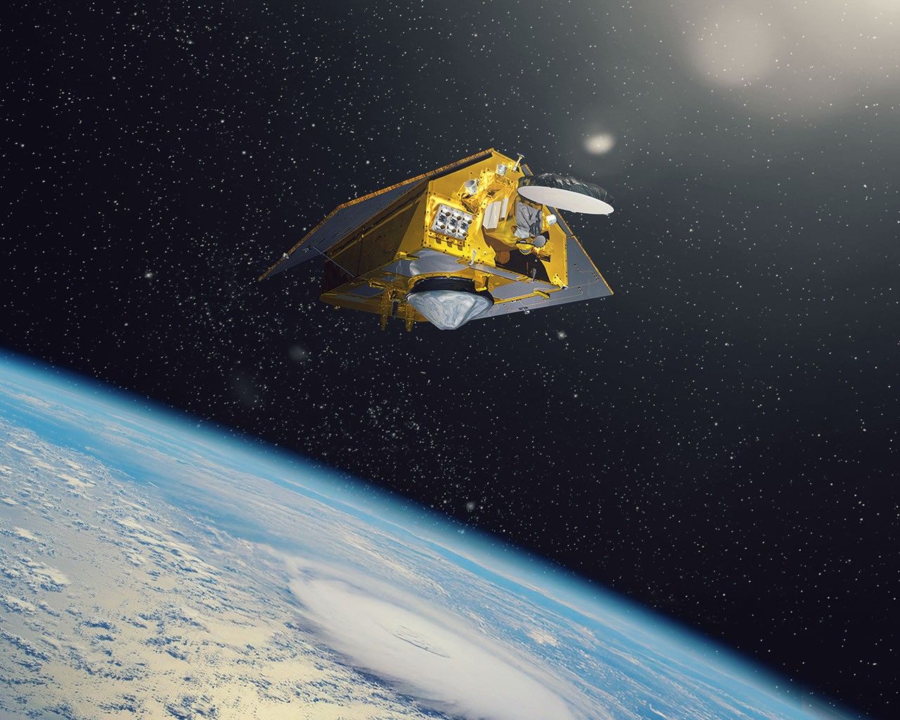
A few days later, on November 16, 2026, NASA released a detailed artist's rendering of Sentinel-6B, now operating in orbit. The satellite was developed under the European Union's Copernicus Earth observation program, a joint effort involving the European Space Agency, the European Commission, NASA, the National Oceanic and Atmospheric Administration, and EUMETSAT. Its stated purpose is to serve as the reference satellite for other missions measuring sea surface height — a designation that carries significant scientific weight.
Sentinel-6B follows Sentinel-6A and traces its scientific lineage back to the TOPEX/Poseidon mission of the 1990s. Altimetry satellites in this family measure the height of the ocean surface to within a few centimeters, generating data essential for tracking long-term sea-level rise, improving storm surge and weather forecasts, and feeding into the climate models used by governments and research institutions worldwide.
Being named the reference satellite means Sentinel-6B's measurements will be used to calibrate data from other spaceborne altimeters. It is an unglamorous but foundational role, ensuring that the global network of ocean-observing satellites produces consistent, comparable data over decades.
Different clocks, same orbit
Taken together, these two missions capture something essential about the current state of the space sector. SpaceX operates on an aggressive iterative timeline, treating uncertainty as an acceptable cost of rapid progress. Meanwhile, an international scientific consortium has spent years building a methodical, interoperable infrastructure for environmental monitoring — one designed not for headlines, but for the long accumulation of reliable data.
Low Earth orbit now hosts both approaches simultaneously. Whether catching a booster from a tower or quietly measuring the centimeter-scale rise of the Pacific, the shared altitude masks a profound difference in purpose — and in the timescales over which each mission expects to matter.