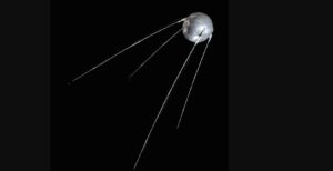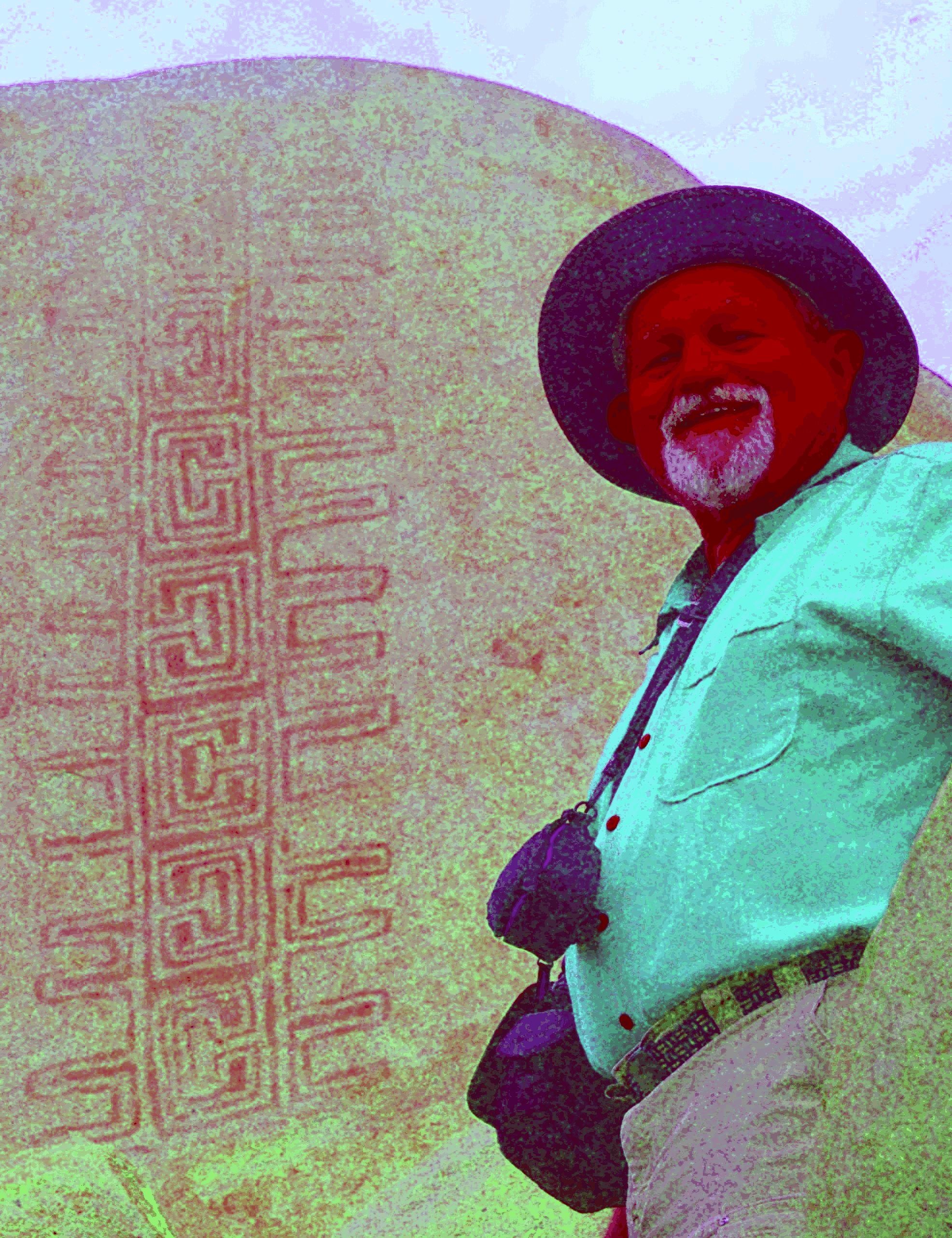
A tool built for orbit, repurposed for antiquity
The original challenge was a practical one: how do you squeeze meaningful information out of raw satellite imagery distorted by atmospheric haze, cloud cover, or uneven lighting conditions? NASA engineers responded by developing image-processing algorithms capable of isolating faint contrasts and surfacing structural details that neither the human eye nor conventional software could reliably detect.
For years, these tools served well-defined operational purposes — tracking polar ice retreat, mapping deforestation across vast forest regions, or assessing crop health from low Earth orbit. What their designers had not foreseen was that the same underlying logic would eventually be pointed not at the present, but at the deep past.
Reading the earth beneath our feet
When applied to aerial photographs or multispectral imagery of archaeological sites, these algorithms reveal subtle soil anomalies that betray the presence of buried structures. Barely perceptible variations in vegetation density, minor thermal differentials, or slight differences in surface moisture can each signal the presence, underground, of ancient walls, ditches, roads, or foundations long since covered by centuries of sediment.
The technique works by isolating weak signals embedded in visual noise. A trained human observer looking at the same imagery might see nothing more than an unremarkable field. The algorithm, however, identifies micro-variations consistent with buried features that continue to alter the chemical and physical composition of the surrounding soil long after their abandonment.
Research teams working alongside archaeological institutions have begun applying the method to sites across multiple regions of the world. In a number of cases, the results have been significant: previously unknown monumental complexes, ancient road networks, and forgotten settlement patterns have emerged from imagery that had previously yielded nothing of note.
Space technology as a bridge to the human sciences
This kind of technology transfer reflects a dimension of space programs that rarely receives attention outside specialist circles. NASA maintains formal mechanisms designed to encourage the adoption of its tools by sectors well beyond aerospace engineering. The European Space Agency similarly documents civilian applications of its Earth observation capabilities on a regular basis, reinforcing the idea that orbital infrastructure generates value far outside its original brief.
Archaeology offers one of the more compelling examples of this cross-disciplinary exchange. Traditional excavation is slow, expensive, and by definition destructive — once a layer is removed, it cannot be restored. Algorithm-driven image analysis provides a non-invasive alternative, allowing researchers to identify and rank priority sites before a single trowel breaks the surface.
What remains unresolved is the question of access. Agencies like NASA and ESA have the computational infrastructure to deploy these methods at scale, but many archaeological teams operate with limited budgets and technical capacity. Discussions around open-source frameworks and public-private partnerships are underway, though no formal structure has yet been established. The prospect, however, is clear: the ruins of lost civilizations may increasingly be found not in a trench, but on a screen.